01
Geospatial Intelligence
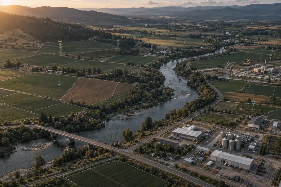
Connect mapping, spatial analytics, assets and enterprise information in location-based engineering applications.
Geospatial & Space Systems
Intelectouch builds geospatial and satellite-connected software that connects maps, imagery, telemetry and engineering information. The focus is on operational applications that help teams understand assets, locations and changes over time.
Scope, integrations and deliverables are defined for each project.

Location becomes more useful when it is connected to asset records, technical documents and current operating information. A monitoring workflow may combine time-stamped telemetry with infrastructure data; another may use Earth Observation imagery to review changes. Data availability, update frequency, spatial reference and integration permissions shape what each application can support.
Connect mapping, spatial analytics, assets and enterprise information in location-based engineering applications.
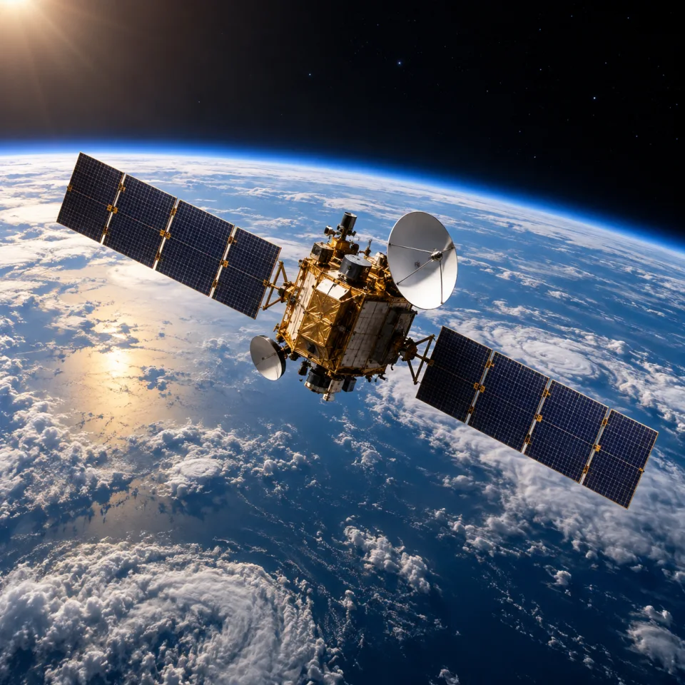
Develop software interfaces for connectivity, terminal data, distributed infrastructure and operational monitoring.
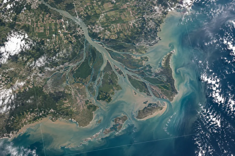
Bring satellite imagery and temporal geospatial data into workflows for review, comparison and operational analysis.
Geospatial & Space Systems
Identify the asset, location or change that teams need to monitor or investigate.
Assess maps, imagery, telemetry and enterprise sources, including their formats and access conditions.
Test the interface and data transformations with representative locations, periods and operational scenarios.
This offering focuses on software and data integration. Connectivity services, satellite data licenses and hardware requirements are defined separately within the project context.
The integration scope depends on available interfaces, identifiers, permissions and data quality. The starting point is the information and workflow already used by the team.
Intelectouch
Share the people, systems and technical information involved. We can use that context to discuss a focused scope.
Discuss your project